Casa Ivar
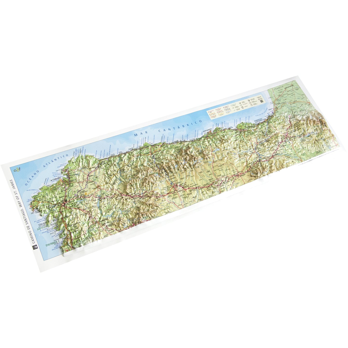
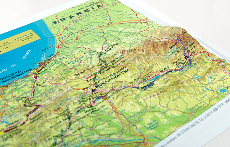
Real 3D map of Camino Frances, Camino del Norte & Camino Primitivo
Real 3D map of Camino Frances, Camino del Norte & Camino Primitivo
Couldn't load pickup availability
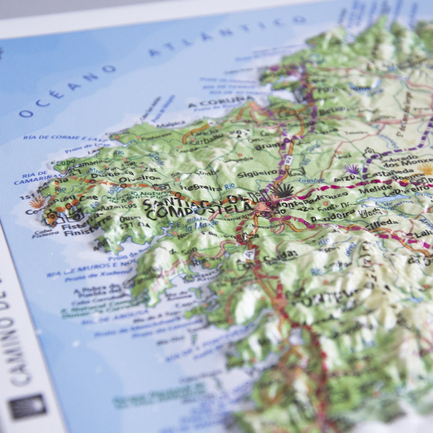
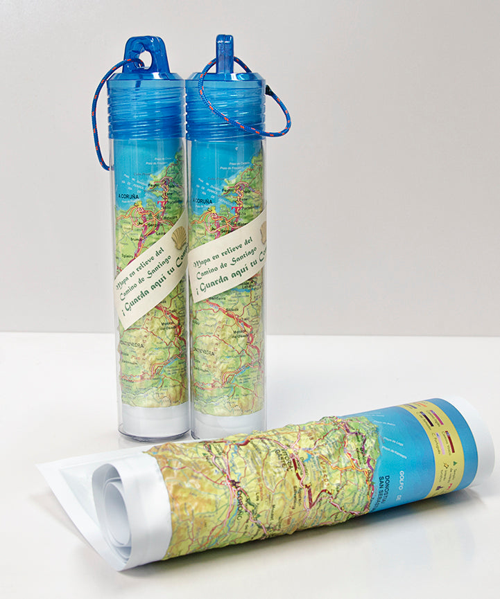
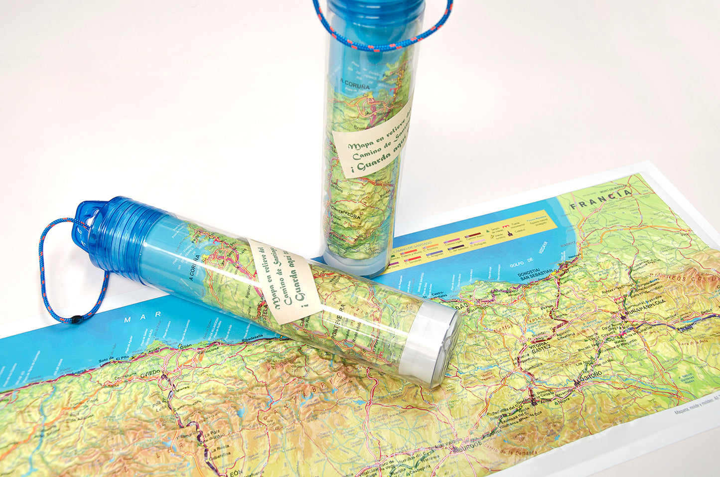
Discover the Camino de Santiago through its ten variations that traverse the north of the Iberian Peninsula. The Roll Relief Maps are rollable relief maps that can be stored in a SUPER FLEXIBLE and WATERPROOF tube.
What this map includes:
- Geodetic vertices and the most important altitude points (peaks).
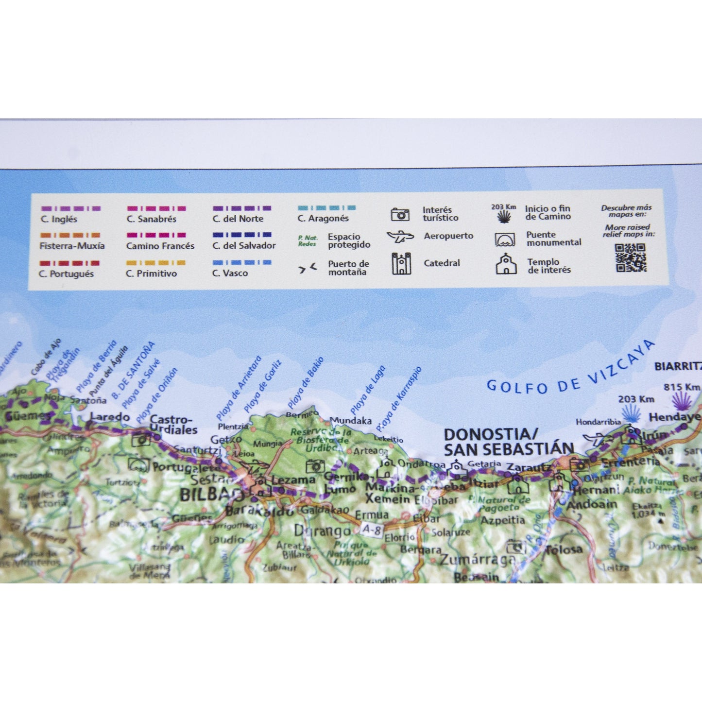
- Cities and all towns along the way.Stages of the French Way of St. James, from St. Jean Pied de Port to Santiago de Compostela.
- Stages of the Northern Way, from Hendaye to Santiago de Compostela.
- Stages of the Aragonese Way, from Somport to its junction with the French Way.
- Stages of the Basque Way, from Irún to Santo Domingo de la Calzada.
- Stages of the Camino del Salvador, from León to Oviedo.
- Stages of the Primitive Way, from Villaviciosa to Melide
- Stages of the Sanabrés Way, from Puebla de Sanabria to Santiago de Compostela.
- Stages between Fisterra and Muxía, starting in Santiago de Compostela.
- Communication routes: highways, expressways, secondary roads, and railways.
- Protected natural areas.
- Hydrography, reservoirs, mountain systems, mountain ranges, hills, beaches, capes, gulfs, and other geographical features.
- Symbols marking temples of interest, tourist attractions, monumental bridges, and cathedrals
- National, regional, and provincial boundaries.
Size: 66 x 24 cm (26.9 inches by 9.4 inches)
Share

Great product. Looks good and seems durable. Love it.
Arrived in perfect condition, Sooner than expected with current international shipping.
I wish I had known about the 3D map as part of my planning for my May-June trip on these Caminos. I now enjoy it, in retrospect of the trip. I'll definitely order the Camino Portuguese version in advance of my planning that route in the future.
The size is perfect along with the detail.
Loved it
