Cicerone
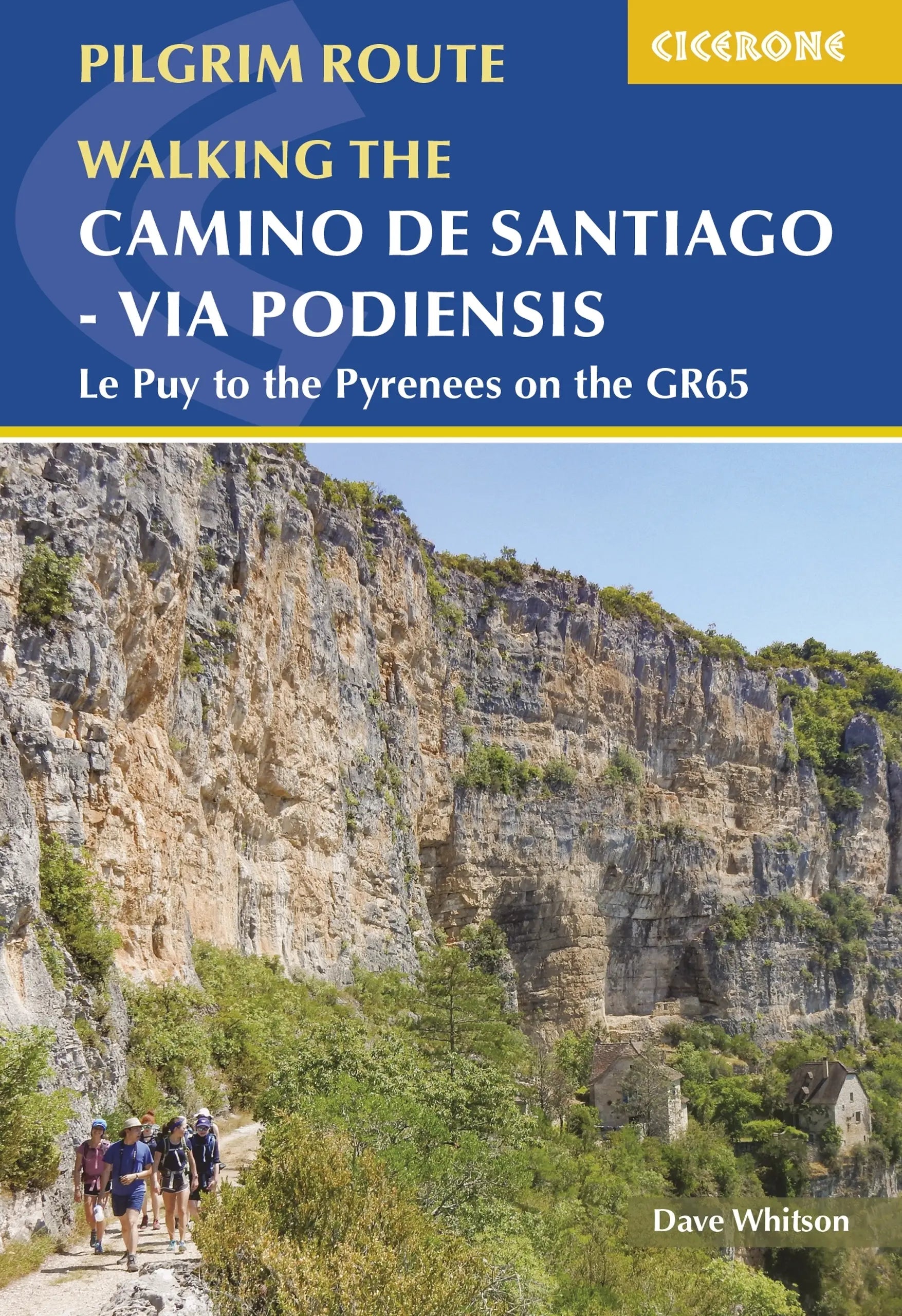
Cicerone: Via Podiensis Le Puy to the Pyrenees on the GR65
Cicerone: Via Podiensis Le Puy to the Pyrenees on the GR65
Couldn't load pickup availability
This is the 2022 edition.
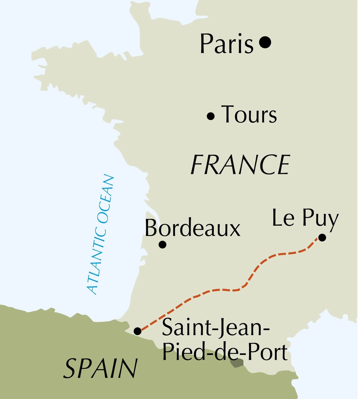
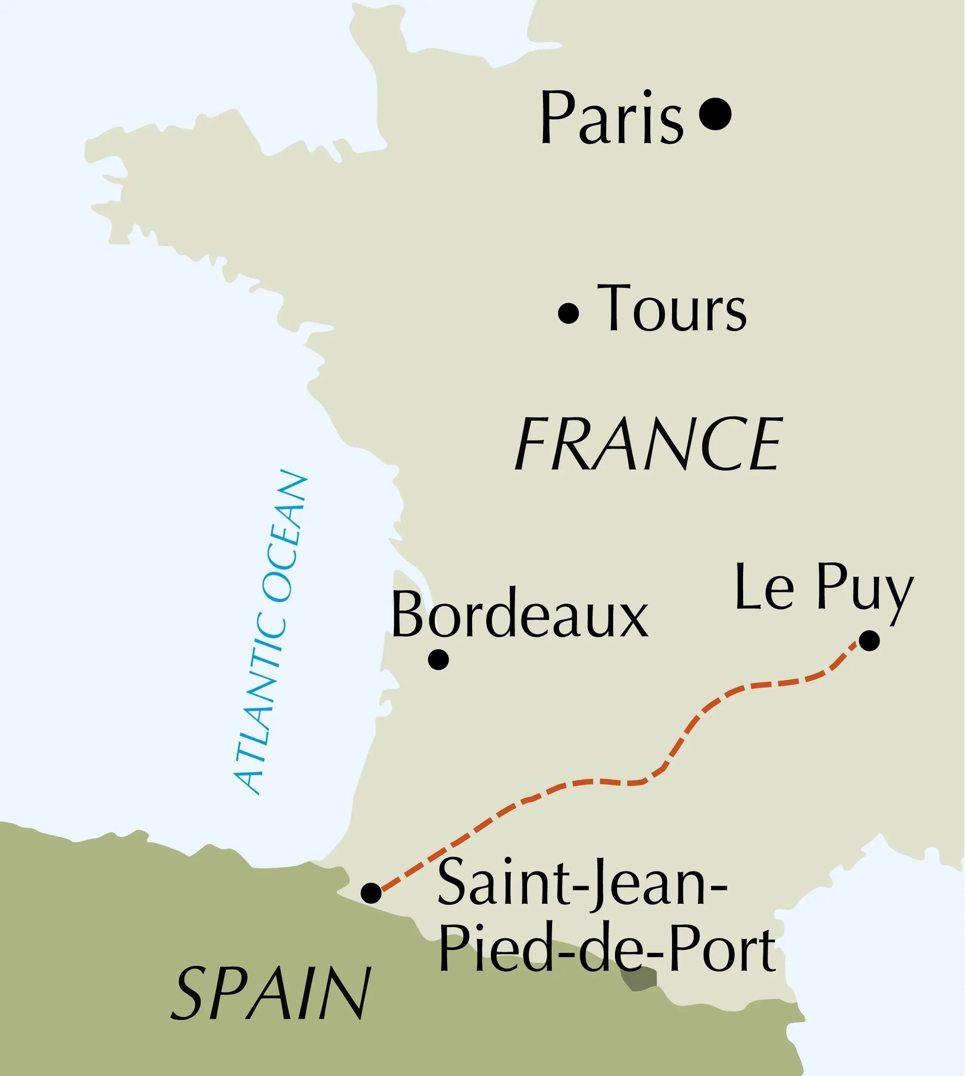
Guidebook to the Via Podiensis (Chemin du Puy) pilgrim route along the GR65 through southern France to the Pyrenees. The 750km route links Le Puy-en-Velay with Saint-Jean-Pied-de-Port and the start of the Camino Francés to Santiago. Includes Célé Valley and Rocamadour variants.
| ISBN | 9781786311023 |
| Published | 11 Jul 2022 |
| Pages |
296 |
| Size | 17.2 x 11.6 x 1.7cm |
| Weight | 350g |
Seasons
Spring and autumn are ideal: pleasant temperatures and reasonable precipitation. Summer can be hot but it's less crowded and many businesses/attractions have extended opening hours. The route is technically feasible in winter but sees few walkers, and many services close.Centres
Difficulty
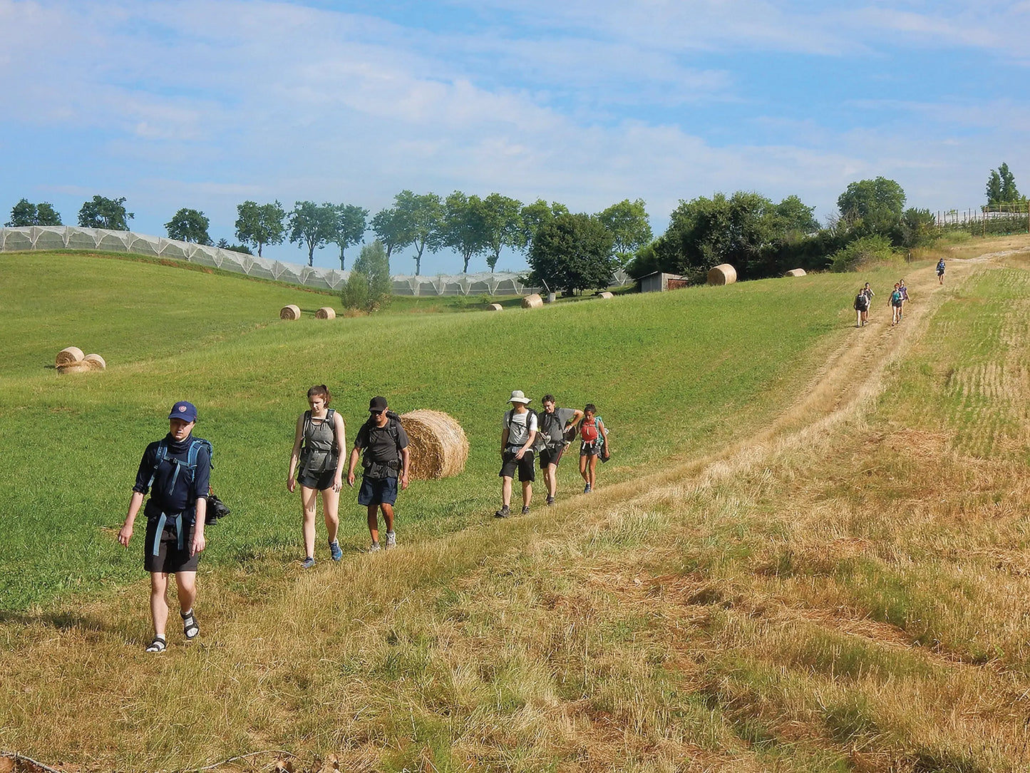
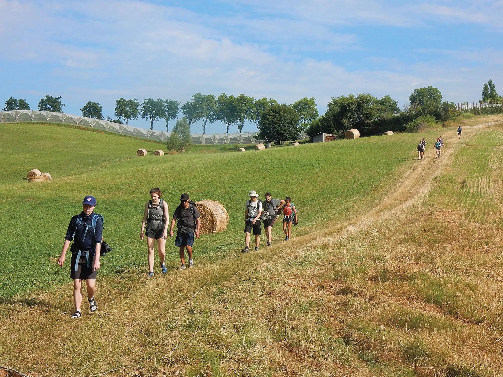
No special equipment is required and the route is navigable by all walkers. It is easily scalable to ability, with regularly spaced accommodation and baggage transport available. Most days involve tiring ups and downs on uneven terrain but nothing technical.
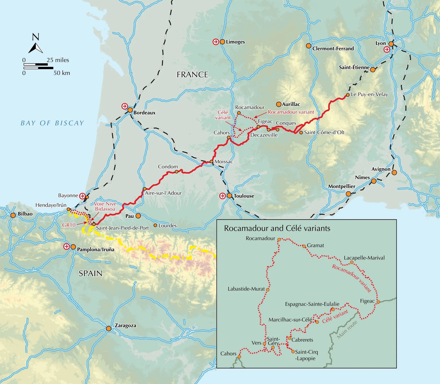
Overview
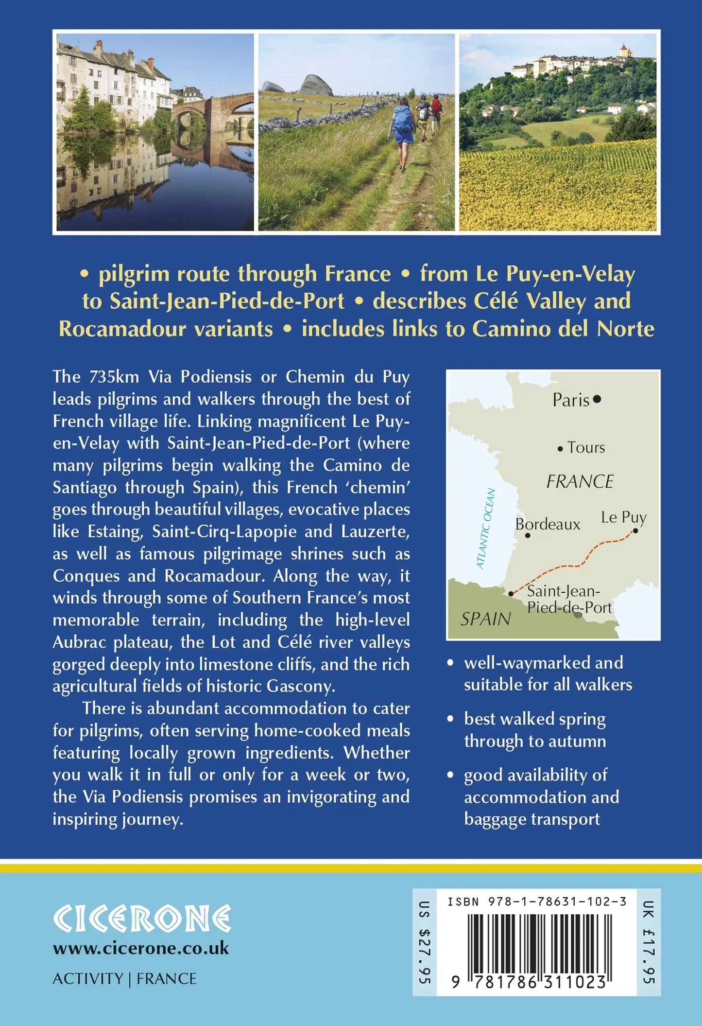
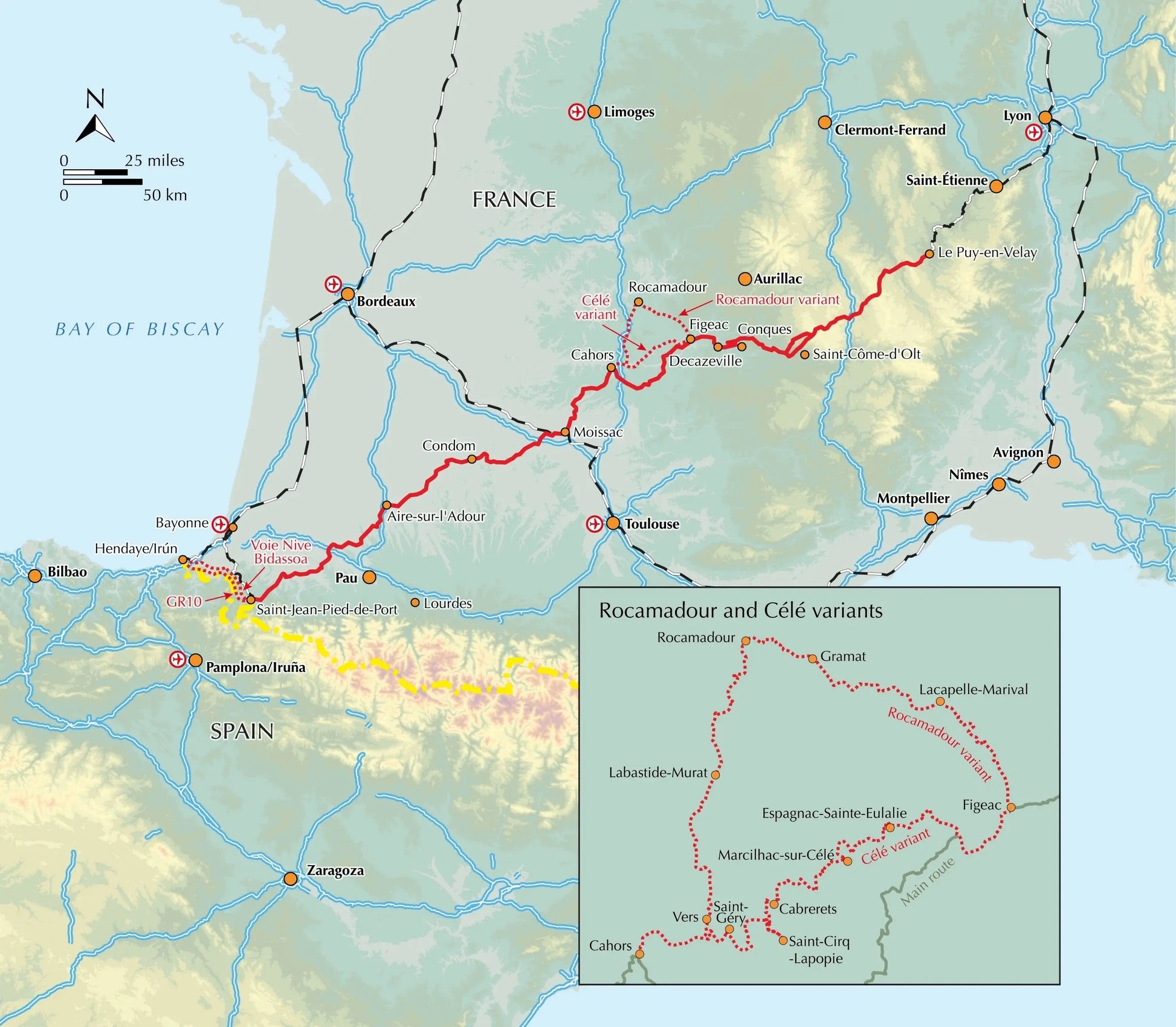
This guidebook describes in full the 735km Via Podiensis (GR65), a historic pilgrimage route through southern France from Le Puy-en-Velay to Saint-Jean-Pied-de-Port, where the trail meets the famous Camino Francés to Santiago de Compostela (Spain). Also detailed are 2 major variants: the Célé Valley (GR651) and Rocamadour (GR6 and GR46). Split into 28 stages, the full route takes 4 to 6 weeks to complete but can be divided into shorter sections - Figeac and Condom are well positioned to break the walk into three 2-week chunks. It can be adapted to suit all abilities, with regularly spaced accommodation and baggage transport available, and is best walked in spring and autumn, with May and September the most popular months. Abundant accommodation options offer a warm welcome to walkers and pilgrims and a chance to enjoy delicious home-cooked meals made with local ingredients.
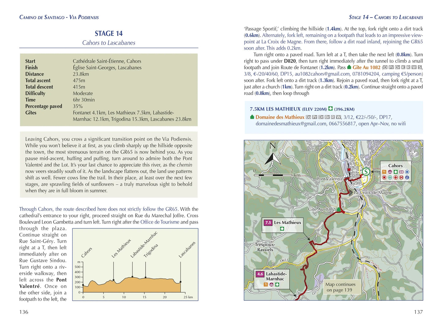
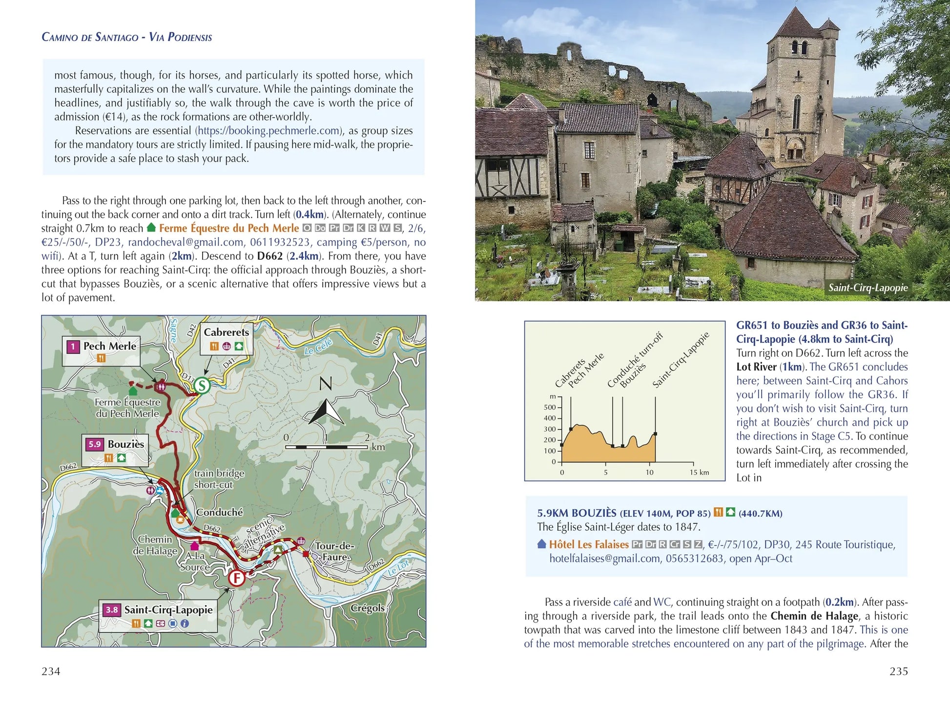
Walking directions are accompanied by 1;100,000 maps showing the route line and the facilities available at different locations. Accommodation listings provide invaluable information on where to stay. There are useful town maps for Cahors, Condom, Figeac, Le Puy, Moissac and Saint-Jean-Pied-de-Port, and a stage planning table listing intermediate distances between accommodation means the schedule can be easily customised to individual requirements.
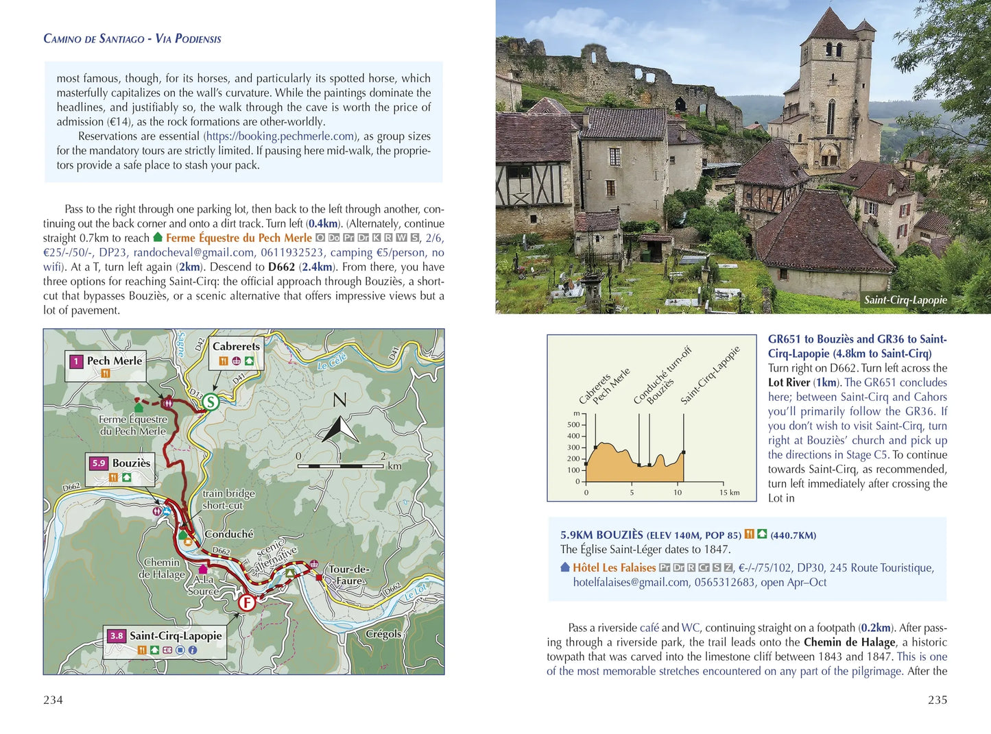
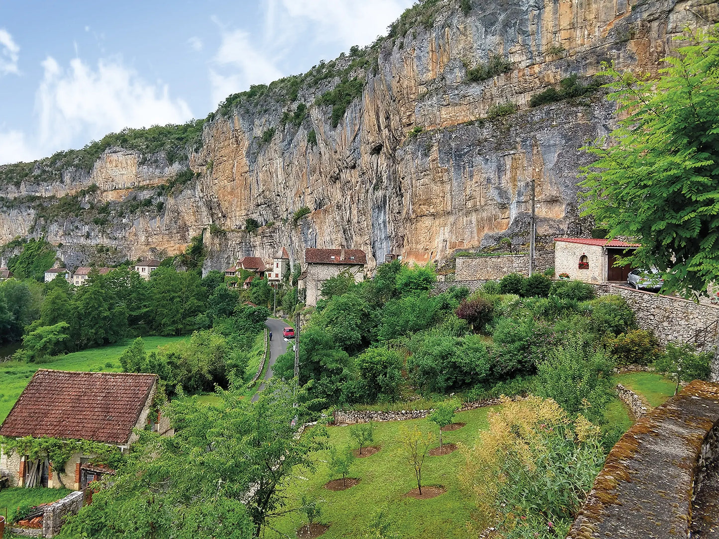
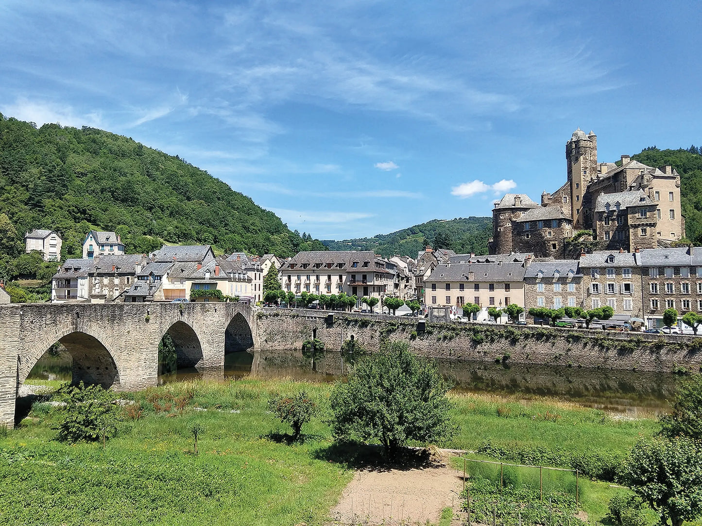
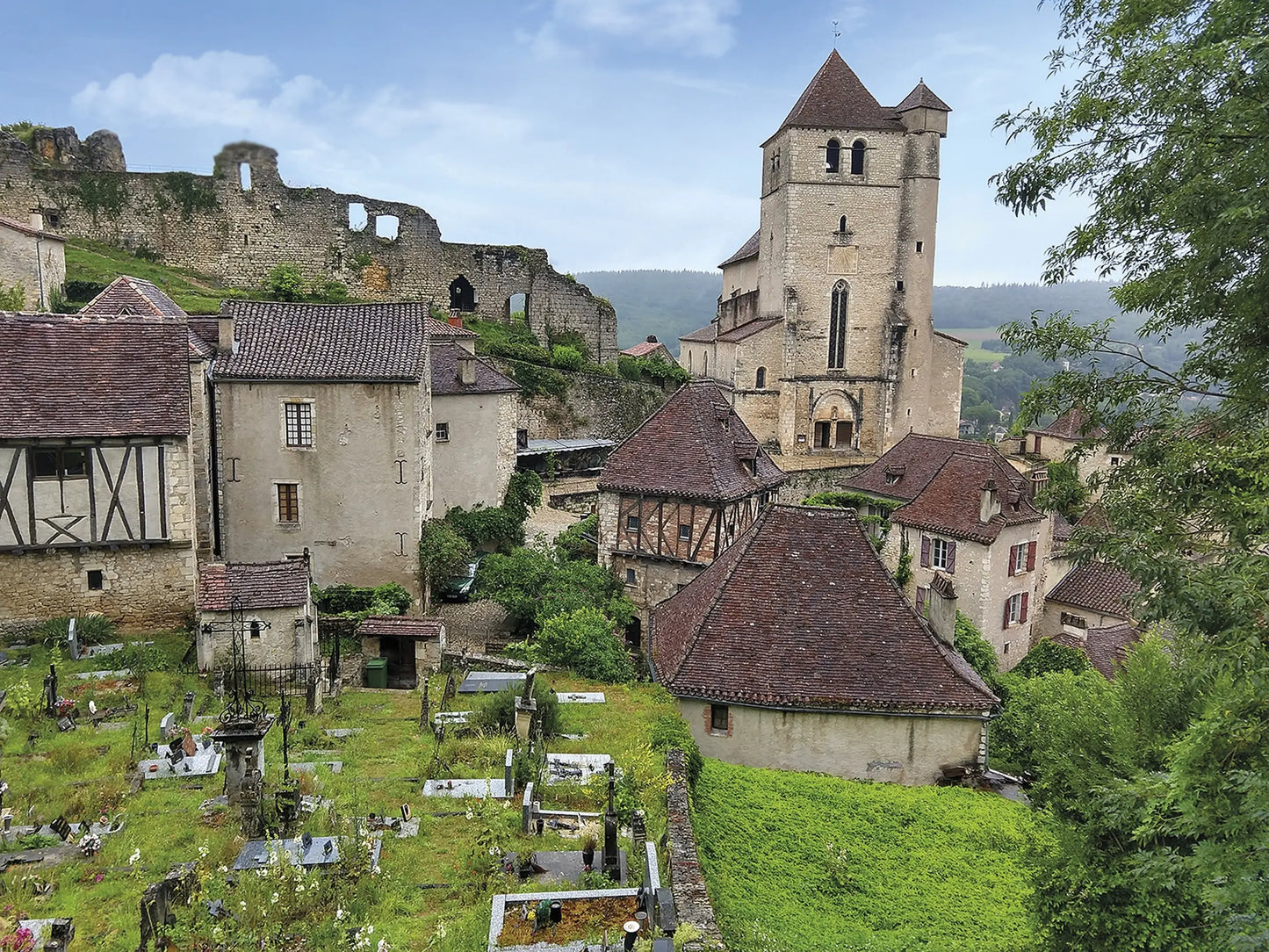
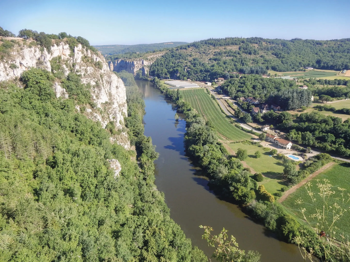
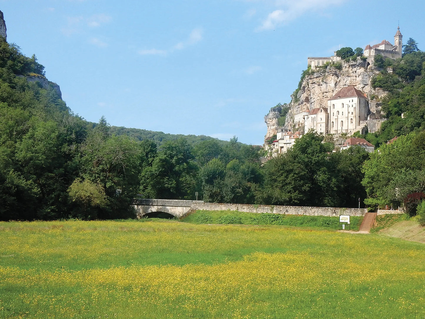
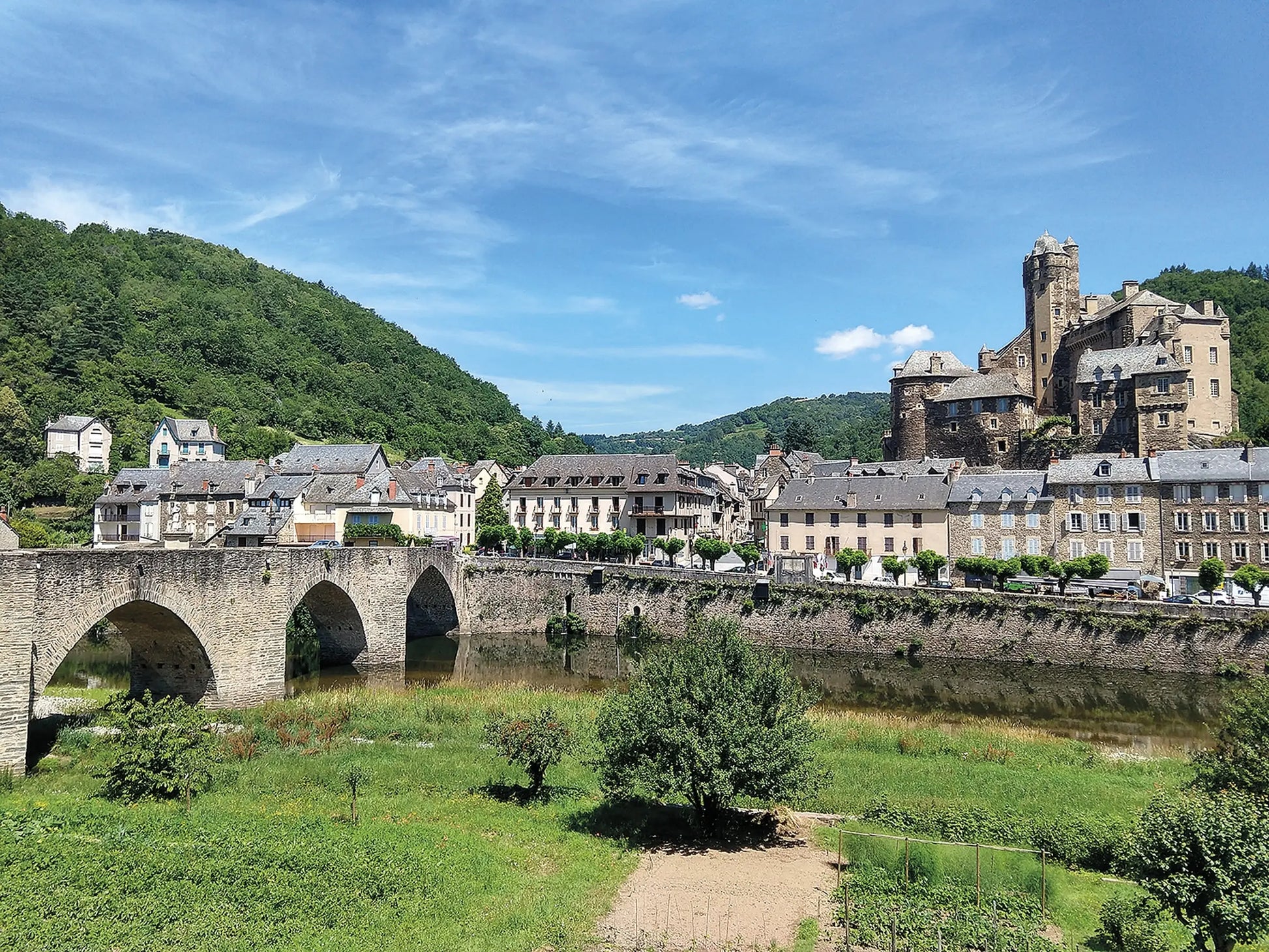
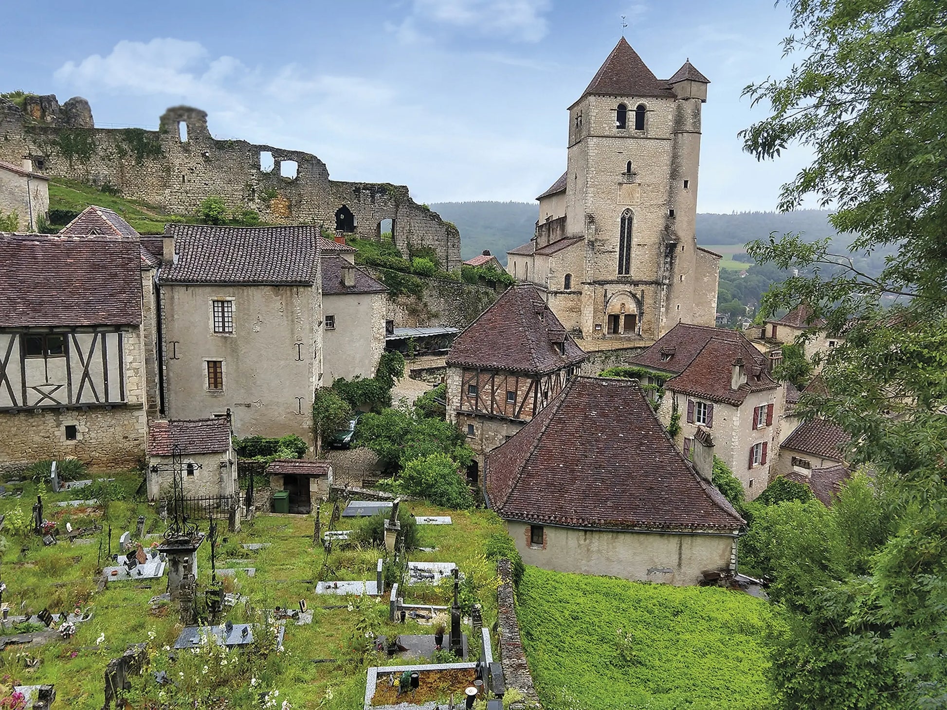
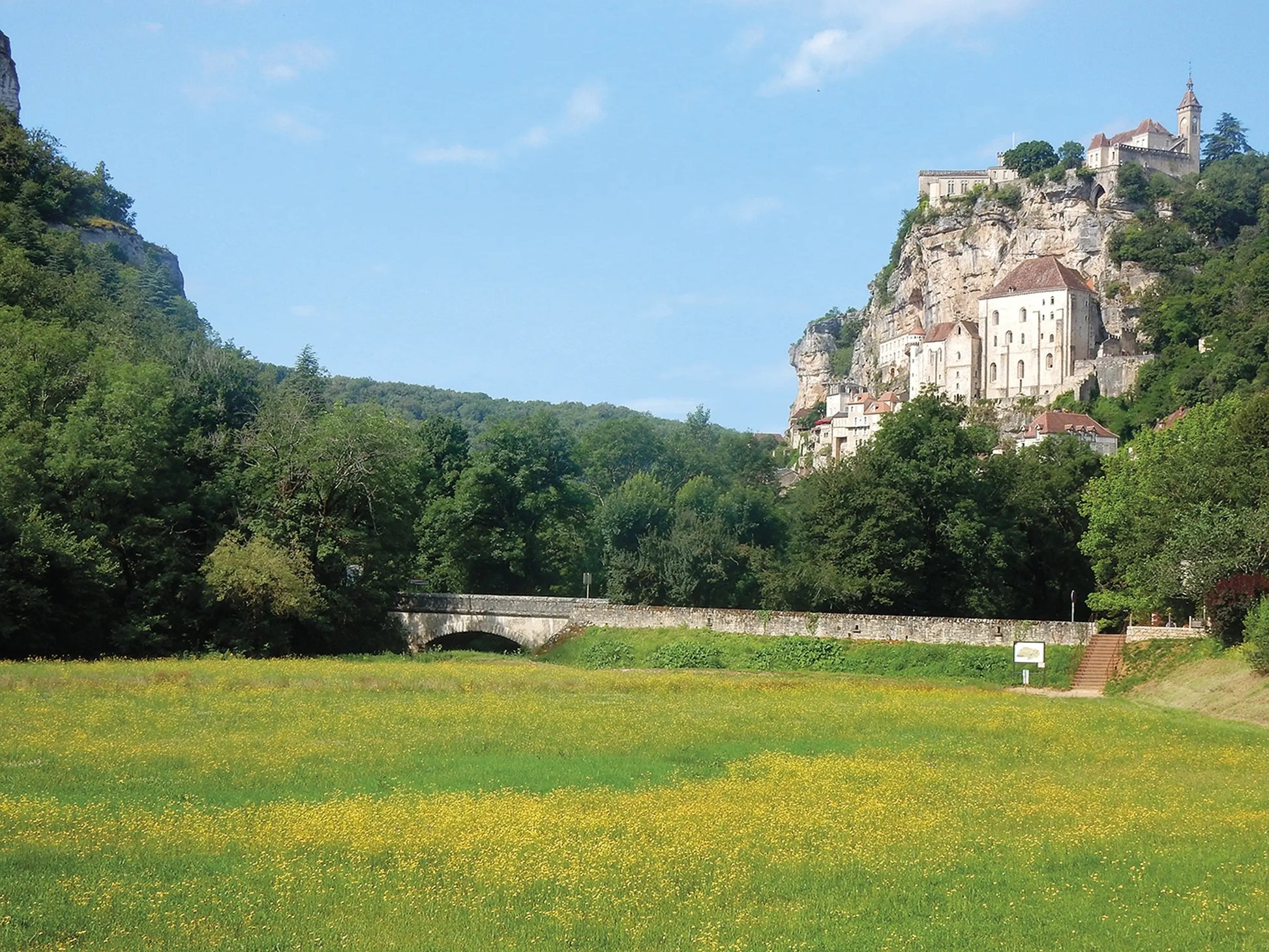
The Via Podiensis leads pilgrims and walkers through the best of French village life, offering a unique combination of pleasant trails, quaint historic communities and cultural delights. It passes through charming Estaing, Saint-Cirq-Lapopie and Lauzerte, and visits pilgrim shrines including Conques and Rocamadour. Pilgrims carrying on to Santiago can either proceed directly from Saint-Jean on the Camino Francés or transition (via the GR10) over to the Camino del Norte - a skeletal outline of the routes linking Saint-Jean and Irún, Spain, is included in the guidebook.
Contents
Overview map of the Via Podiensis
Route summary tables
Map key
Introduction
The stories of St James and St Roch
The Via Podiensis: yesterday and today
Regions encountered along the route
A turbulent history
Planning your walk
Choosing your route
When to go
Preparation and planning
Being a pilgrim
Getting there and back
Where to stay
Tips for making the most of your walk
What to pack
Food and drink
Postal services and baggage transportation
Telephones and internet
Other local facilities
How to use this guide
Route descriptions
Route summary information
Walking directions and waymarking
Municipality information headings
Accommodation listings
Elevation profiles
Maps
GPX tracks
Planning tools
The Via Podiensis
Stage 1 Le Puy-en-Velay to Montbonnet
Stage 2 Montbonnet to Saugues
Stage 3 Saugues to Domaine du Sauvage
Stage 4 Domaine du Sauvage to Aumont-Aubrac
Stage 5 Aumont-Aubrac to Nasbinals
Stage 6 Nasbinals to Saint-Côme-d’Olt
Stage 7 Saint-Come-d’Ôlt to Estaing
Stage 8 Estaing to Conques
Stage 9 Conques to Livinhac-le-Haut
Stage 10 Livinhac-le-Haut to Figeac
Stage 11 Figeac to Cajarc
Stage 12 Cajarc to Varaire
Stage 13 Varaire to Cahors
Stage 14 Cahors to Lascabanes
Stage 15 Lascabanes to Lauzerte
Stage 16 Lauzerte to Moissac
Stage 17 Moissac to Auvillar
Stage 18 Auvillar to Lectoure
Stage 19 Lectoure to Condom
Stage 20 Condom to Éauze
Stage 21 Éauze to Nogaro
Stage 22 Nogaro to Aire-sur-l’Adour
Stage 23 Aire-sur-l’Adour to Arzacq-Arraziguet
Stage 24 Arzacq-Arraziguet to Arthez-de-Béarn
Stage 25 Arthez-de-Béarn to Navarrenx
Stage 26 Navarrenx to Aroue
Stage 27 Aroue to Ostabat-Asme
Stage 28 Ostabat-Asme to Saint-Jean-Pied-de-Port
Célé Valley variant
Stage C1 Figeac to Espagnac-Sainte-Eulalie
Stage C2 Espagnac-Sainte-Eulalie to Marcilhac-sur-Célé
Stage C3 Marcilhac-sur-Célé to Cabrerets
Stage C4 Cabrerets to Saint-Cirq-Lapopie
Stage C5 Saint-Cirq-Lapopie to Cahors
Rocamadour variant
Stage R1 Figeac to Lacapelle-Marival
Stage R2 Lacapelle-Marival to Gramat
Stage R3 Gramat to Rocamadour
Stage R4 Rocamadour to Labastide-Murat
Stage R5 Labastide-Murat to Vers
Stage R6 Vers to Cahors
Connecting to the Camino del Norte
The GR10
The Voie Nive Bidassoa
Appendix A Stage planning tables
Appendix B Useful sources of information
Appendix C English–French glossary
Appendix D Suggestions for further reading
Appendix E Major festivals along the way
Appendix A Useful sources of information
Appendix B English–Spanish–Euskera glossary
Appendix C Suggestions for further reading
Share
