1
/
of
9
Casa Ivar
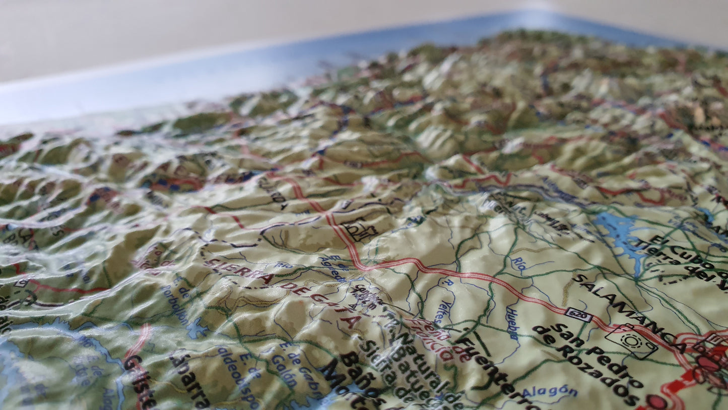
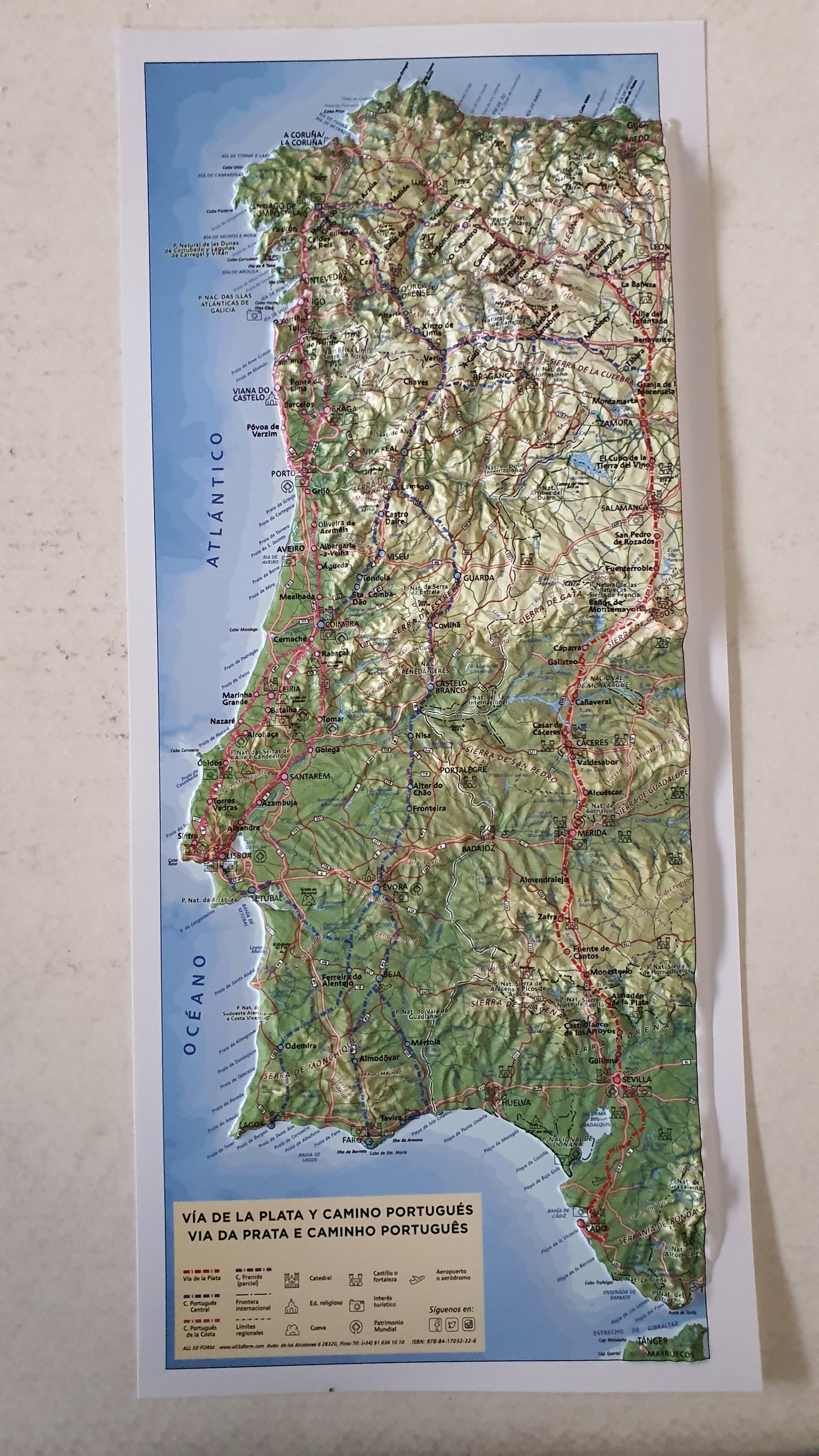
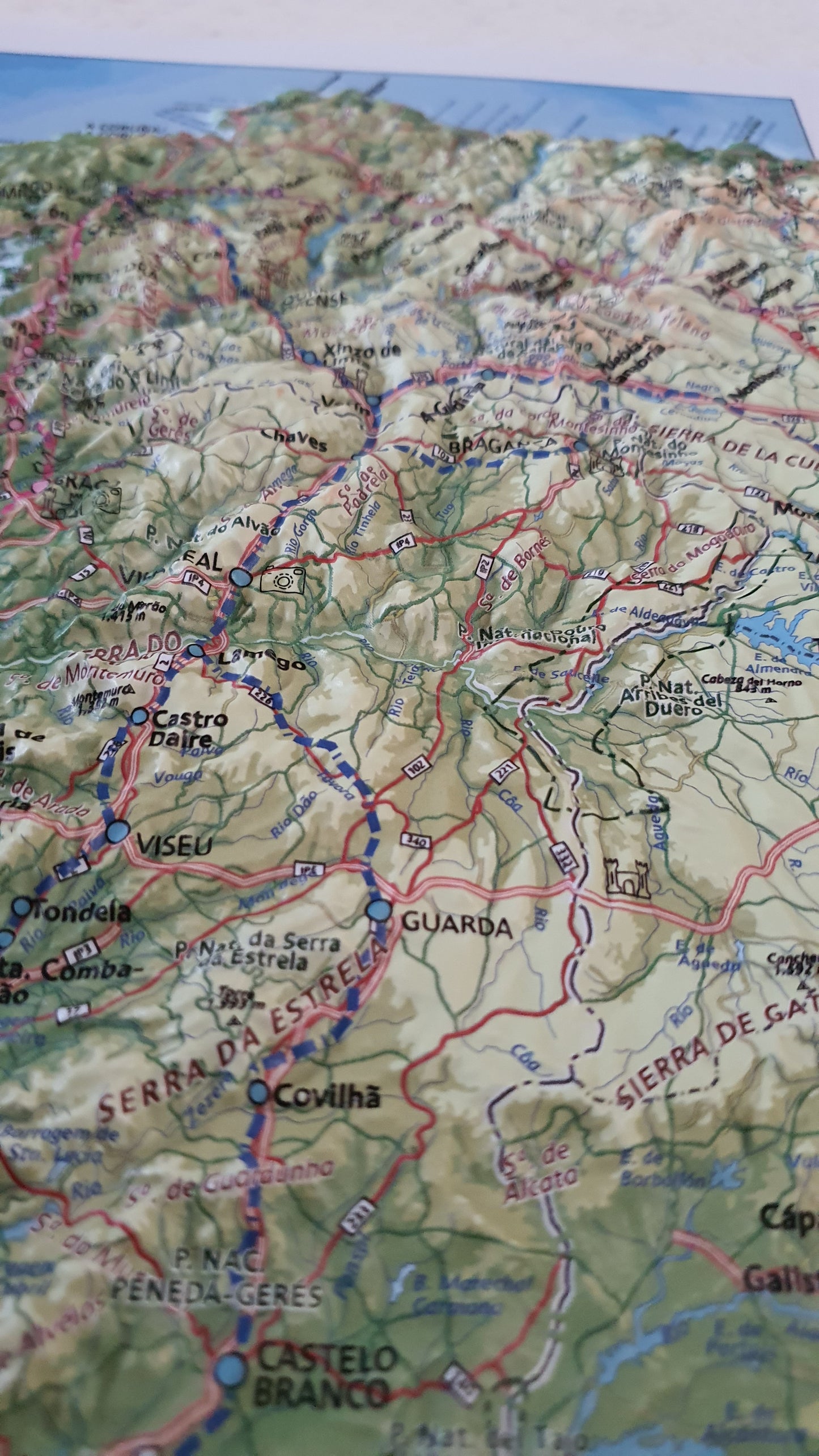
Real 3D map of Camino Portuguese and Via de la Plata
Real 3D map of Camino Portuguese and Via de la Plata
Regular price
$16.00
Regular price
Sale price
$16.00
Unit price
/
per
Taxes included.
No reviews
Couldn't load pickup availability
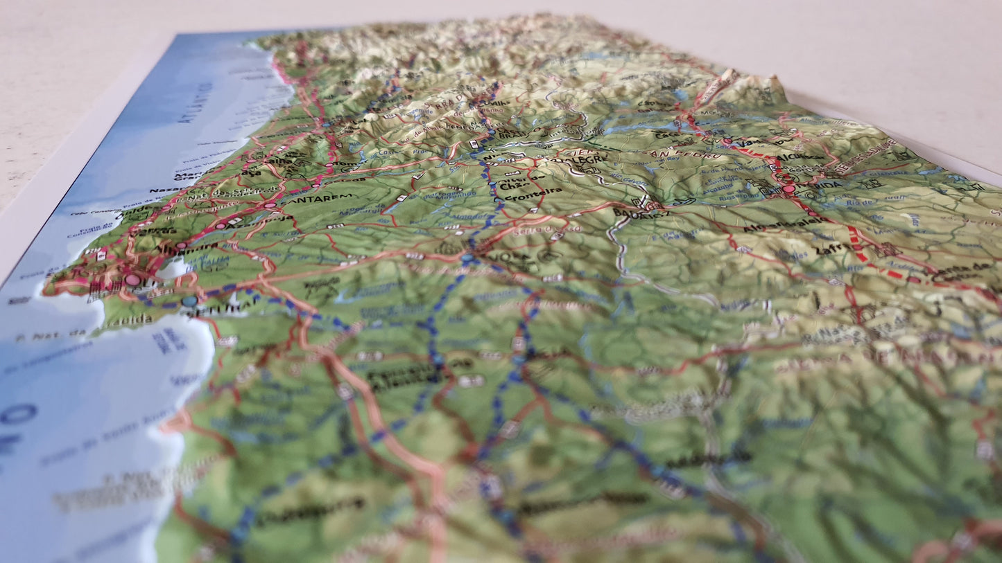
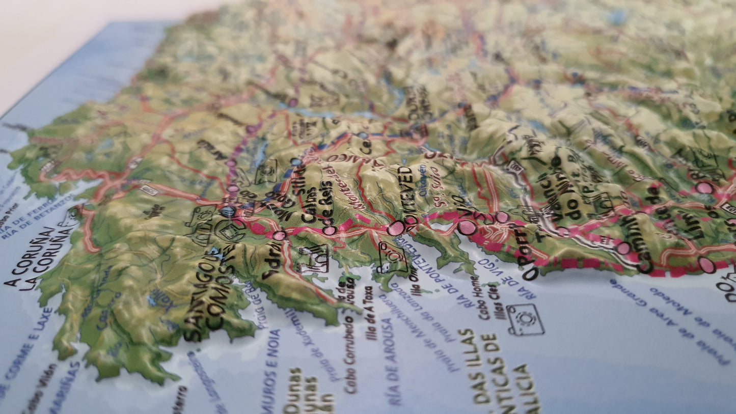
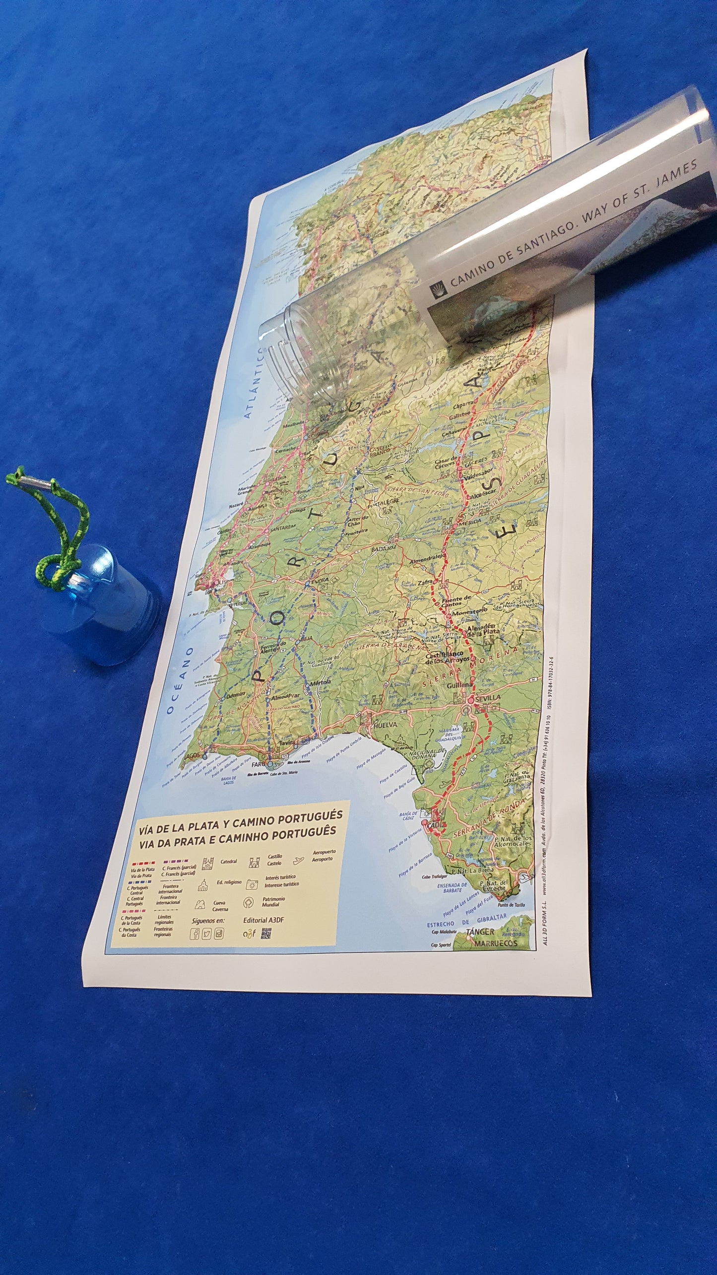
This map describes the oldest route of the Camino: the Roman road that started in Emérita Augusta, now Mérida, and reached Asturica Augusta, or Astorga. The Portuguese Way, on the other hand, gained importance starting in the 12th century and is renowned for its great beauty. This map of the Vía de la Plata and the Portuguese Way is the perfect keepsake for a unique experience.
What this map includes:
- Geodetic vertices and the most important altitude points (peaks).
- Cities and all towns along the way.
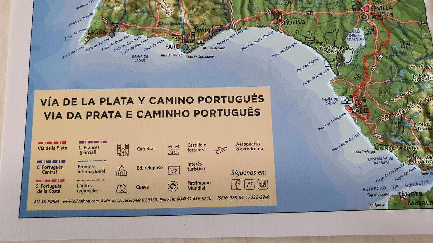
- Stages of the Vía de la Plata, from Cádiz to Santiago de Compostela.
-
Stages of the Portuguese Way from:
- Tavira to Santiago de Compostela,
- Faro to Santiago de Compostela,
- Lagos to Santiago de Compostela,
- Lisbon to Santiago de Compostela.
- Communication routes: highways, expressways, secondary roads, and railways.
- Protected natural areas.
- Hydrography, reservoirs, mountain systems, mountain ranges, hills, beaches, capes, gulfs, and other geographical features.
- National, regional, and provincial boundaries.
Size: 21 x 48 cm (approximately8.3 x 18.9 inches)
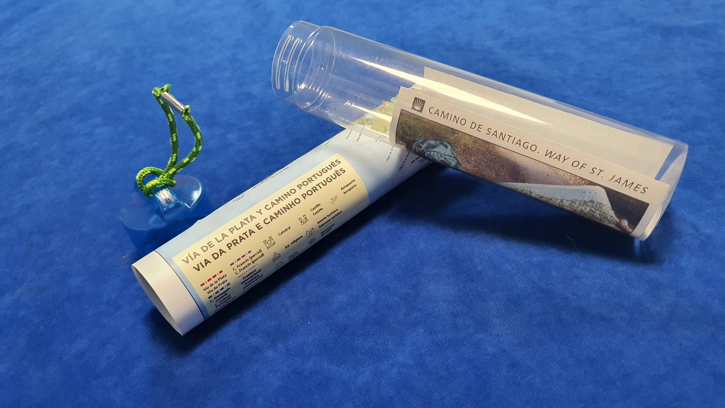
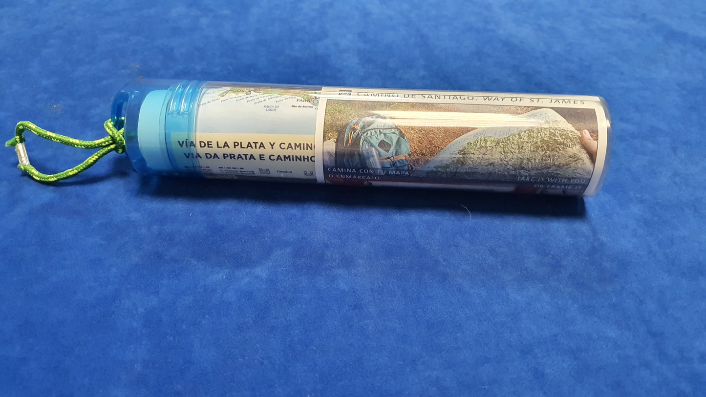
The map comes rolled up in a plastic tube (as seen on the photos).
Share
